


Tin can that once contained National Dried Milk from the Welfare Foods Service, operational during WWII.


Tin can that once contained National Dried Milk from the Welfare Foods Service, operational during WWII.
Brass name-plate inscribed with `Colin Campbell, Esq. V.D.L.`.
Brass name-plate inscribed with `Colin Campbell, Esq. V.D.L.`, found by Angus MacLean in Caoles, Coll, almost certainly belonging to the Colin Campbell of Balephetrish farm and father-in-law of Dr Alexander Buchanan. V.D.L. most likely stands for Van Diemans Land, the former name of Tasmania.

Wooden and rope bridle for tethering a horse.
Wooden and rope bridle known as a `brangas` used for tethering a horse when grazing or in the byre. The cheek pieces were made from the oakstaves of a whisky barrel. It was found by Donald MacKinnon of Hough in his stackyard in October 2006.

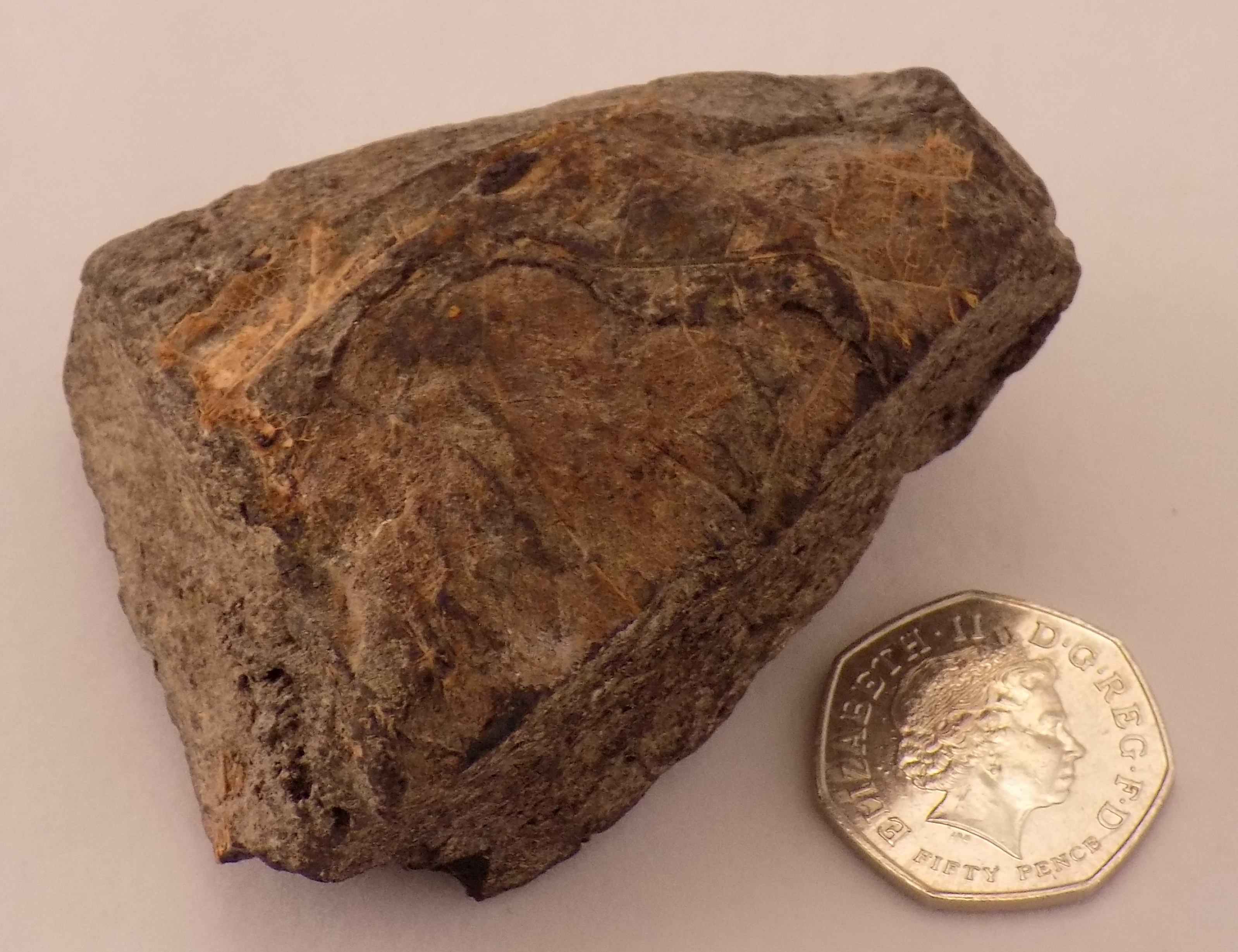
Iron Age strike-a-light.
Palm-sized round brown pebble with deep straight grooves on both sides. An Iron Age multifunctional tool: the grooves were used as a ‘strike-a-light’, the edges for hammering, and the flat surfaces for rubbing hide. Found near the top of Dun Mor, Vaul, on 27th July 2005 by holiday-maker Kenny Nelson. It may also have been used by sail-makers for sharpening their needles.

Lump of ‘cutch’, or catechu, used for tanning fishing lines, nets and sails. A resin extracted from the bark of the betel palm, which grows in India and Asia, is boiled with water until the water evaporates, leaving the catechu.
Framed photograph of Turnbull`s 1768-9 map of Tiree
Turnbull`s 1768-9 map of Tiree, original of which is in the collection of the Duke of Argyll at Inverary Castle and copied by RCAHMS.
Tiree in 100 Objects – 1 – The Turnbull Map
We start this epic series with a map. It is huge – 8 feet by 6 – and painted on canvas. It belongs to the Duke of Argyll and sits in his archives at Inveraray Castle. We have a small copy in An Iodhlann. In 1768 the Campbells had owned Tiree for less than one hundred years, but already the Duke had decided to use his crown jewel not as a clan chief, but as its landlord. Driving up revenues from this fertile island was this main aim, and moving a medieval farming system into the modern age was his method. First he needed to know the island’s potential.

Heanish area of Turnbull’s map of Tiree, hand-painted 1768
James Turnbull was his chosen surveyor for this enterprise. We know very little about him, other than it took him five weeks to travel to Tiree and return to his Edinburgh home. But he was obviously a supremely skilled professional and his map a thing of lasting beauty as well as being a treasure trove of information about the island in the 18th century. The boundaries of the old farming townships curve through the landscape (for example either side of the Caolas road), every house is drawn in its place and every field and its furrows are marked precisely. The map was drawn thirty years before the crofts were marked out: the thirty or so houses in Vaul are clustered at the bay, just east of Seaside, while the township’s cropped fields cover the golf course!
Turnbull also wrote an accompanying field-by-field report: ‘Barapol: Field number 44; Infield; A compound of loam, gravel and clay, a good soil’. He calculated that 3,474 acres, 25% of Tiree’s land area, were sown with oats and barley – numbers we can only dream about today!
Dr John Holliday, 2016
Foghorn from the schooner `Mary Stewart`.
Foghorn (missing rubber bulb) used on board the schooner Mary Stewart, originally an early 20th century car horn. It was a family tradition of the owners (Donald Maclean of Scarinish and his sons) to blow the horn if there was a marriage in the township.

Red deer bone awl found by Dr Morton Boyd in Balephuil in 1995.
Red deer bone 125 mm long and 25-35 mm wide with one end shaped into a point, found by Dr Morton Boyd on 27/1/1995 on the bank of the stream at Balephuil embedded in a layer of limpet shells and sand/soil at a depth of around 3 m in the dunes.

Identity card issued 8/7/1942 for Christina MacKinnon of West Hynish
Identity card with photograph issued on 8/7/1942 for Christina MacKinnon of West Hynish
Saddle quern found in Moss.
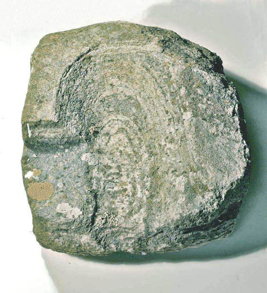
Courtesy of Catriona McLeod
Saddle querns are the most ancient and widely used type of quern-stone. This one was found in Moss in the mid-1980s and may date back to Neolithic times. It was used with a rubbing stone held in the hand, a process that crushed the grain rather than ground it.
Considered women’s work, preparing grain using a saddle quern would have taken many hours and placed great strain on the body, particularly the toes, knees, hips and lower back. They continued in use into the medieval period and were superseded by rotary querns.
Turnbull, in a report on Tiree written in 1768, wrote that meal was made ‘with querns or hand mills which appears to be an expensive and troublesome method. Two women at once, or sometimes three, are commonly employed. By this means there is so much of their time taken up that it greatly retards them from other industry.’
