


Black and white postcard of Balevullin Bay.
View of Balevullin Bay.
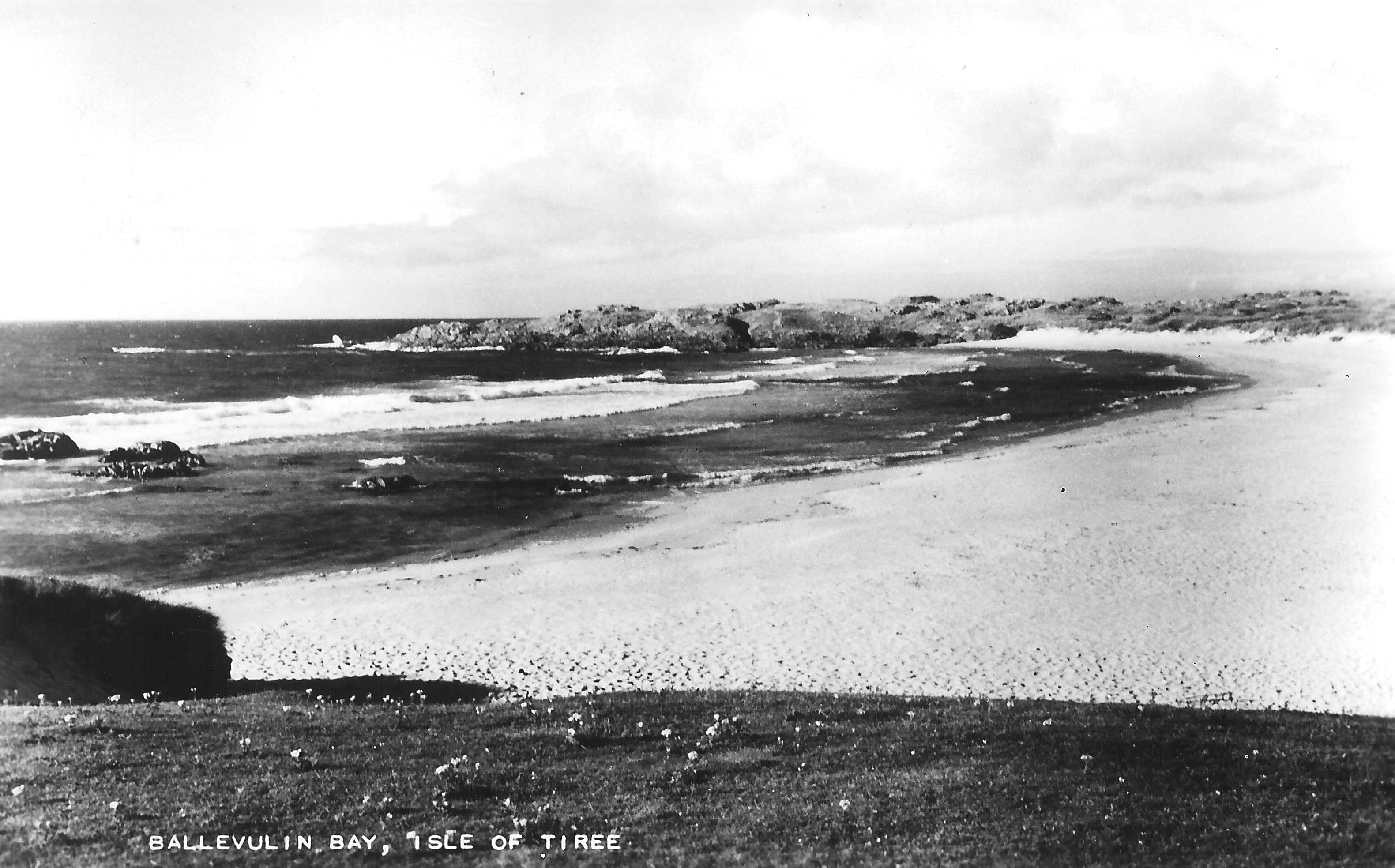

Black and white postcard of Balevullin Bay.
View of Balevullin Bay.
Black and white photograph of Margaret MacLean of Balevullin.
Margaret MacLean of Balevullin (m.s. Richardson) after graduating with an M.A. from Glasgow University around 1930.

Oban High School 1925 dux medal.
Oban High School dux medal won in 1925 by Margaret MacLean of Balevullin.

Black and white photograph of a family group in Balevullin.
L-R: (back row) Flora Ann Brown nee MacLean, mother of Mary, Donald Archie and Archie Brown; Katie Kennedy, brother of Donald Kennedy, Balevullin; Ellen MacLean, sister of Flora Ann; (front row) John MacLean, brother of Flora Ann and Ellen; Iain a Ghaffer; Alick MacLean, brother of John, Flora Ann and Ellen; Hector Kennedy, Balevullin, father of Katie and Donald Kennedy.

Black and white photograph of cows on Balevullin beach.
Cows on Balevullin beach.

Audio cassette recording of Iain MacDonald and Duncan MacPhee talking to Reg Knapman.
Iain MacDonald talks to Reg Knapman about Neilie Alainn of Kenovay, Captains Charles MacKinnon of Kenovay and John Brown of Balevullin, the Cornaigbeg MacLeans and Camerons, the Balevullin Camerons, his brother Neil Noan, Ben Hynish and Kennavara, Balemartine houses and families, Neil MacDonald of Balevullin, Tiree gentlemen, Hugh MacArthur of Tullymet, Iain MacCallum of Cornaigmore, his evangelist friends and the House Improvement Officer coming to Tiree.
Booklet titled `Isle of Tiree` edited by Mona MacDonald, with photocopy.
Guide to townships on Tiree, local advertising and map. Accession includes photocopy of same.
Ordnance Survey map, sheet NL94NW, 1:10,000.
Map of Craignish, Beinn Hough and Balevullin showing contour lines, roads and paths, boundaries, townships and buildings, bridges and cattle grids, rivers and drains, sites of antiquities, vegetation and rock features.
Ordnance Survey map, sheet NL94NE, 1:10,000.
Map of Balevullin, Kilmoluaig, Cornaigmore and Cornaigbeg showing contour lines, roads and paths, boundaries, townships and buildings, bridges and cattle grids, rivers and drains, sites of antiquities, vegetation and rock features.
Map of part of Tiree showing the mains water supply in 1977.
Map showing the continuation of Phase II of the Tiree Rural Water Supply for Cornaig, Balephetrish, Gott, Kirkapol, Scarinish, Baugh, the Reef, Crossapol, Kenovay, Kilmoluaig and Balevullin, at a scale of 1:56,000 dated 1977.