Family tree illustrating relationships between some MacIntyre, MacMillan, MacLean, MacKinnon and MacInnes families in the east end of Tiree.
Family tree illustrating relationships between some MacIntyre, MacMillan, MacLean, MacKinnon and MacInnes families in the east end of Tiree.
| Tags: brock , genealogy , kirkapol , ruaig , vaul | | Dates: 1700s , 1800s , 1900s | | Townships: kirkapol , ruaig , vaul | | Object Types: family tree | | People: MacIntyre, Mr Donald, Kirkapol (1737 - 1800) , MacKinnon, Mrs Mary, Ruaig (1804 - ) | Black and white photograph of John MacKinnon outside Taigh Chiorstaidh, Brock in 1956.
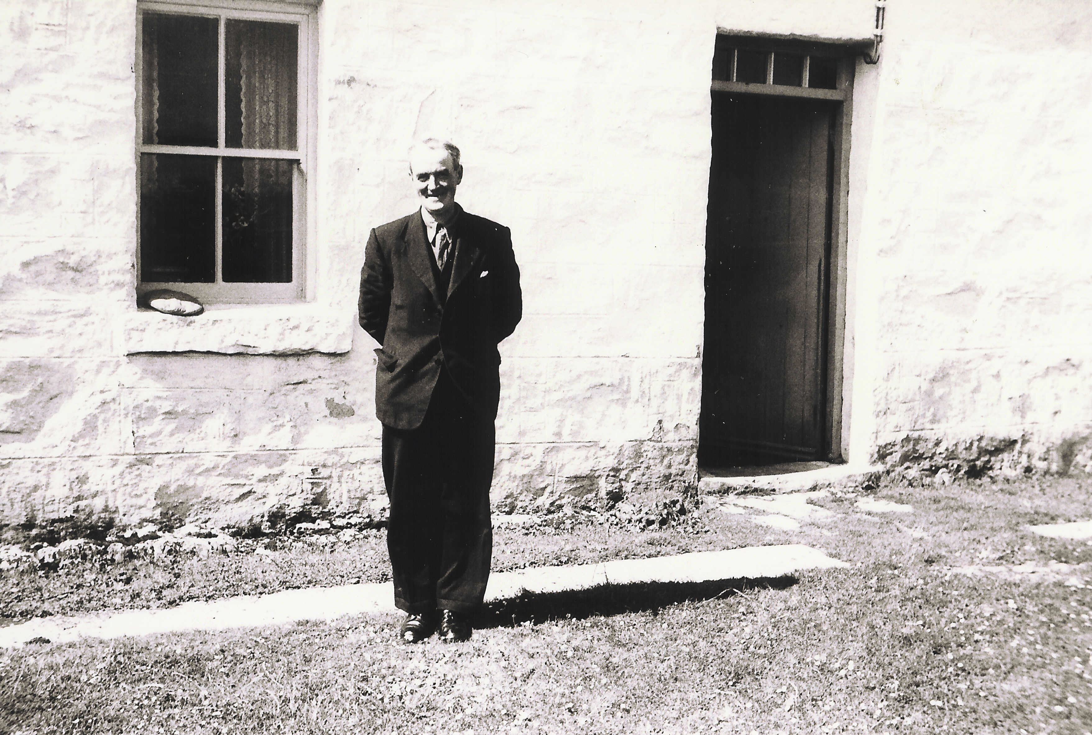
John MacKinnon outside Taigh Chiorstaidh, Brock in 1956.
Black and white photograph of Lachie MacKinnon outside Taigh Chiorstaidh, Brock in 1956.
Lachie MacKinnon outside Taigh Chiorstaidh, Brock in 1956.
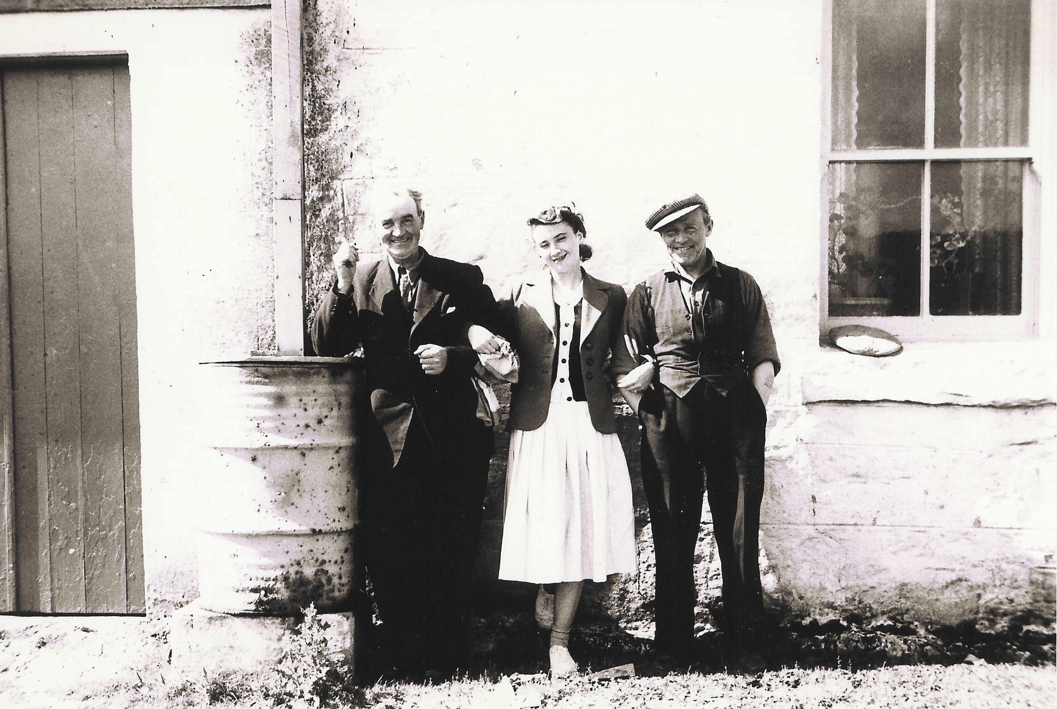
Black and white photograph of brothers Lachie and John Mackinnon and Mrs McCrory outside Taigh Chiorstaidh, Brock in 1956.
Brothers Lachie and John MacKinnon and Mrs McCrory outside Taigh Chiorstaidh, Brock in 1956.
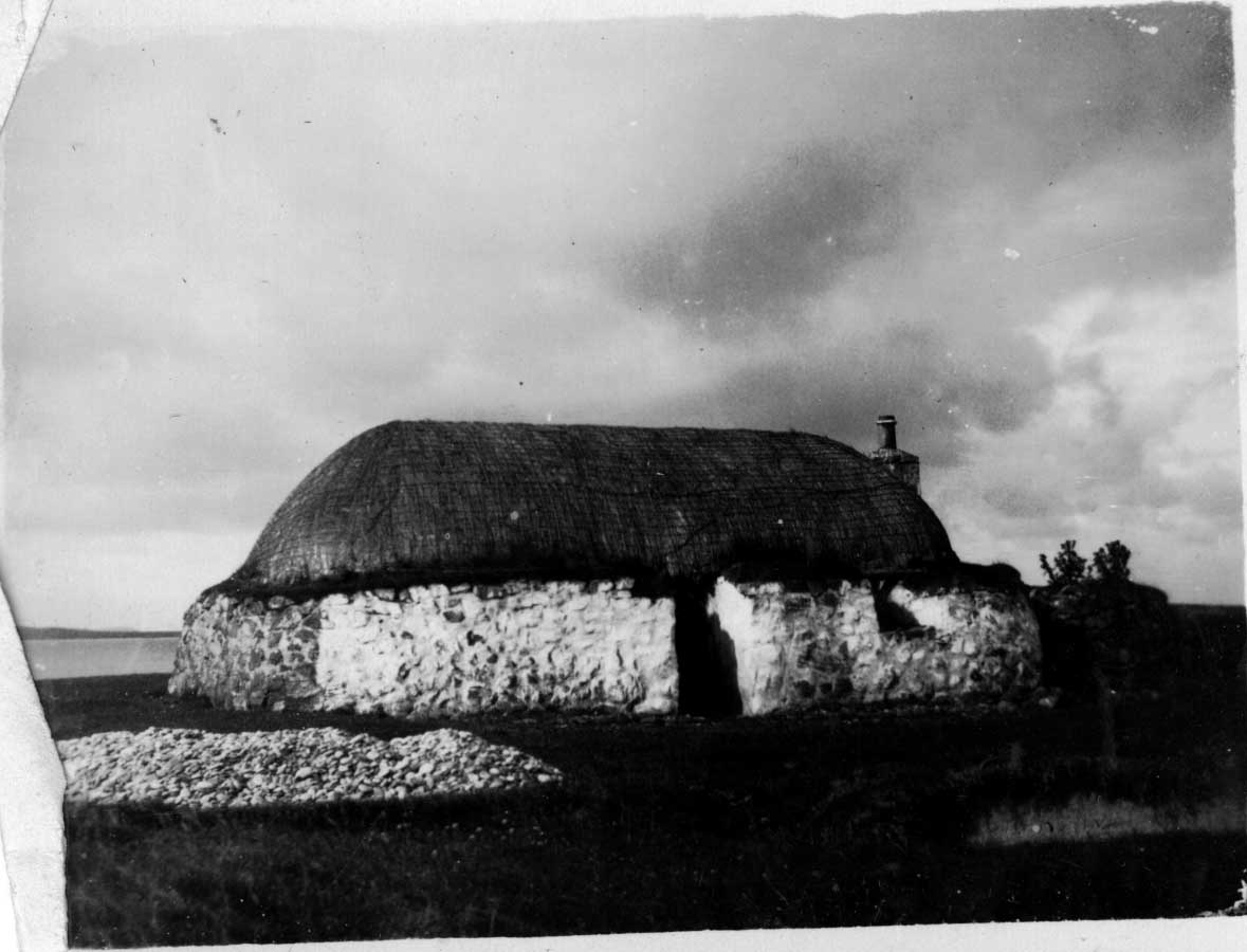
Black and white photograph of Taigh na Buaile, Brock.
Taigh na Buaile, Brock.
Township history for Soay, Brock, Ruaig and Salum researched and written by Hector MacPhail.
Information about Soay and about prominent families in Brock, Ruaig and Salum – the MacKinnons/Sinclairs, Lamonts, MacLeans, MacLeods and MacInneses.
Click here to view 1998.44.6
| Tags: brock , communities , doctors , education and cultural services , emigration , gaelic , genealogy , local conflicts with authority , metalwork , ruaig , salum , sea captains , smiddies and blacksmiths , tailors , weavers , whiskey stills , world war i , world war ii | | Townships: ruaig , salum | | Object Types: academia | | People: MacKinnon, Captain Charles Alfred, Ruaig (1838 - 1926) , MacPhail, Mr Hector, Ruaig (1945 - 2000) | Black and white photograph of thatched house in Brock in 1925.
Thatched house in Brock, from a small photograph album titled ‘Tiree 1925’ thought to come originally from Silversands.
Black and white photograph of the east end of Gott Bay in 1925.
The sands at the east of Gott Bay, from a small photograph album titled ‘Tiree 1925’ thought to come originally from Silversands.
Black and white photograph of thatched house at Brock in 1925.
Taigh na Buaile, Brock, home of Lachainn Iain `s a` bhean, the grandparents of Anneen Black. From a small photograph album titled ‘Tiree 1925’ thought to come originally from Silversands.
Ordnance Survey map, sheet NM04NE, 1:10,000.
Map of Vaul, Salum, Caoles, Milton, Brock, Ruaig and Kirkapol showing contour lines, roads and paths, boundaries, townships and buildings, bridges and cattle grids, rivers and drains, sites of antiquities, vegetation and rock features.
| Tags: ancient monuments , brock , caoles , communities , kirkapol , milton , natural features , ruaig , salum , vaul | | Dates: 1970s | | Townships: kirkapol , milton , ruaig , salum , vaul | | Object Types: map |