Photocopy of part of Admiralty chart 3674, Southern Approach to the Minch.
Admiralty chart from Colonsay to the North Point of Skye.

Photocopy of part of Admiralty chart 3674, Southern Approach to the Minch.
Admiralty chart from Colonsay to the North Point of Skye.
Black and white photograph of Hector Cameron, Archie and Alasdair MacArthur in Sandaig.
L-R: Hector Cameron, Archie and Alasdair MacArthur in Sandaig.

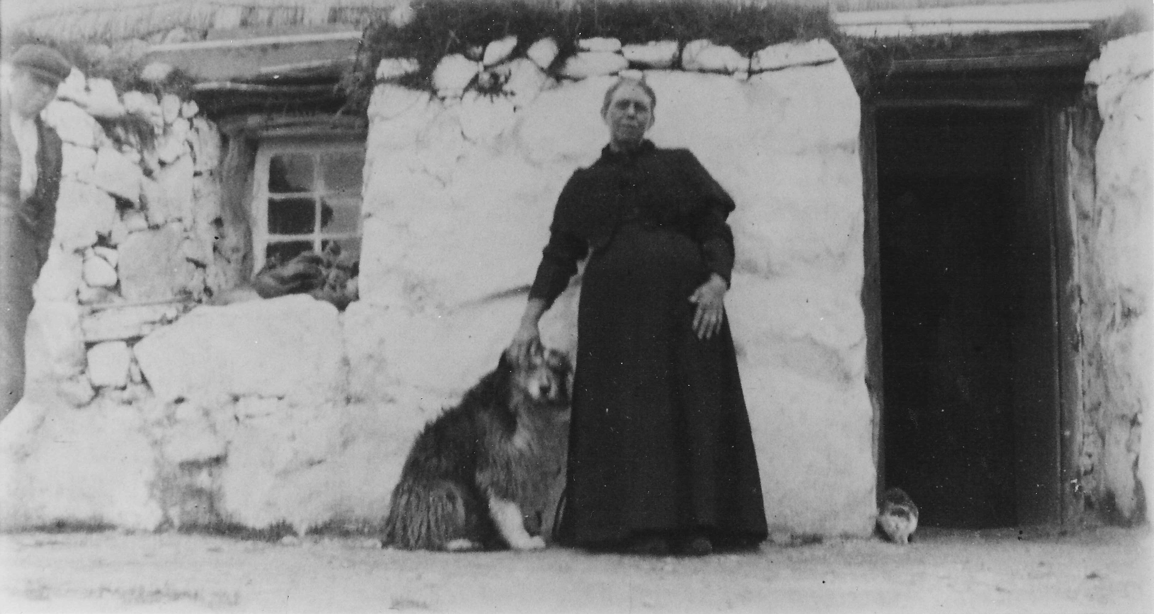
Black and white photograph of unknown woman outside a thatched house in Sandaig.
Unknown woman with her dog and cat outside a thatched house in Sandaig.
Plan of the construction of Gott bay pier dated 1909.
Plan by G. Woulfe Brenan, Oban, of the construction of Gott Bay pier at a scale of 1:120 dated 1909.
Blueprint of the ferro-concrete construction of Gott bay pier dated 1909.
Blueprint by L. C. Mouchel & Partners, Newcastle, of the ferro-concrete construction of Gott bay pier at a scale of 1:120 dated 1909.
Information on Middleton, Sandaig, Kilkeneth and Greenhill by Hector MacPhail.
Township histories for Middleton, Sandaig, Kilkenneth and Greenhill by Hector MacPhail.
Click here to view 1999.8.1
Book about the Clyde pleasure steamers.
Information about individual Clyde pleasure steamers with a pen and ink drawing of each.
Admiralty chart 3718 of the Sound of Mull.
Admiralty chart for the Sound of Mull. (The chart was originally owned by Gilleasbuig MacFadyen (Gilleasbuig Ailein) of Gott, captain of the puffer `Dane` and uncle of Lachie MacFadyen, Caoles.)
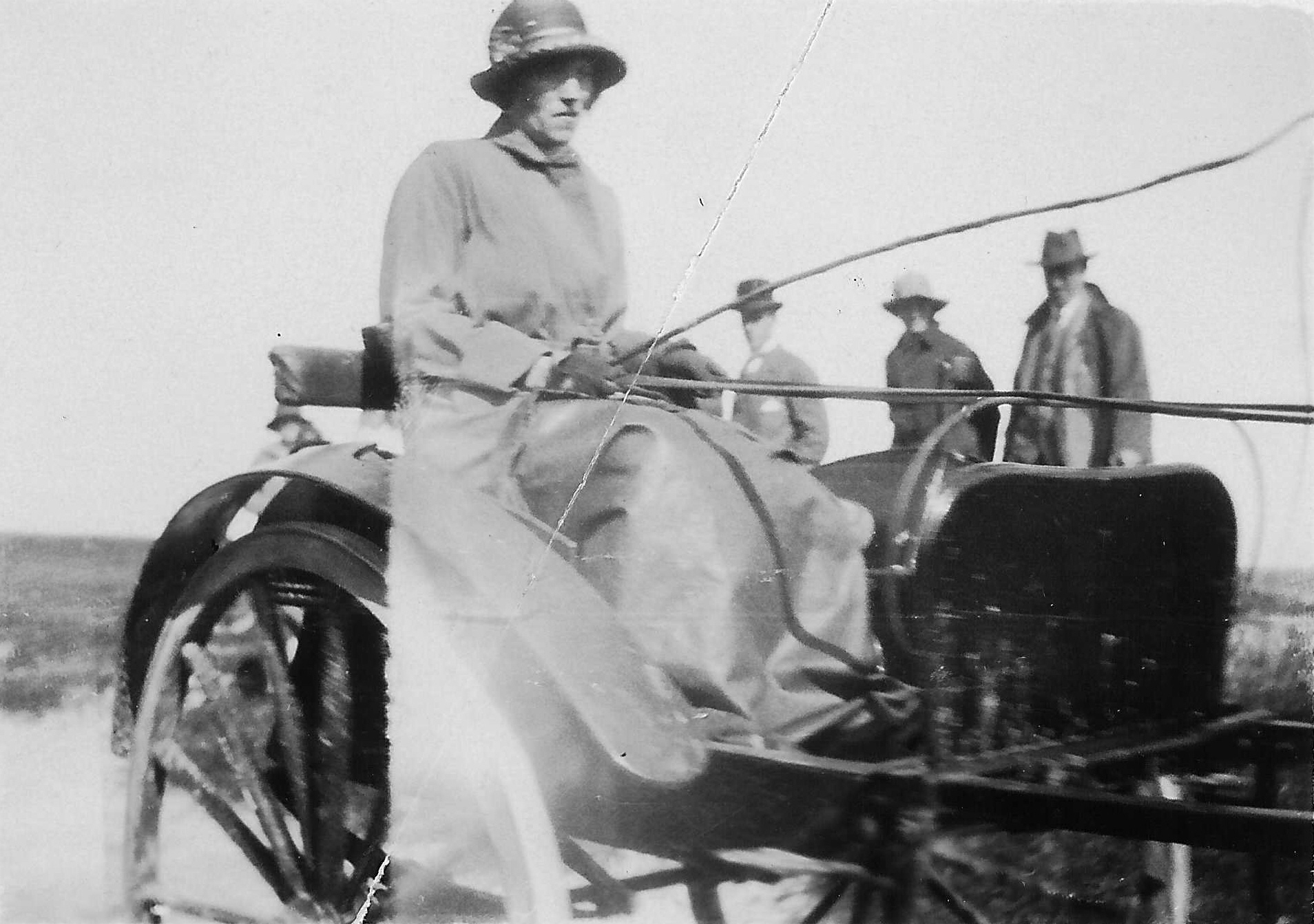
Black and white photograph of unknown woman driving a gig.
Possibly Lady Victoria Campbell driving a gig around 1900. (Original in Filing Cabinet 8 Drawer 1)
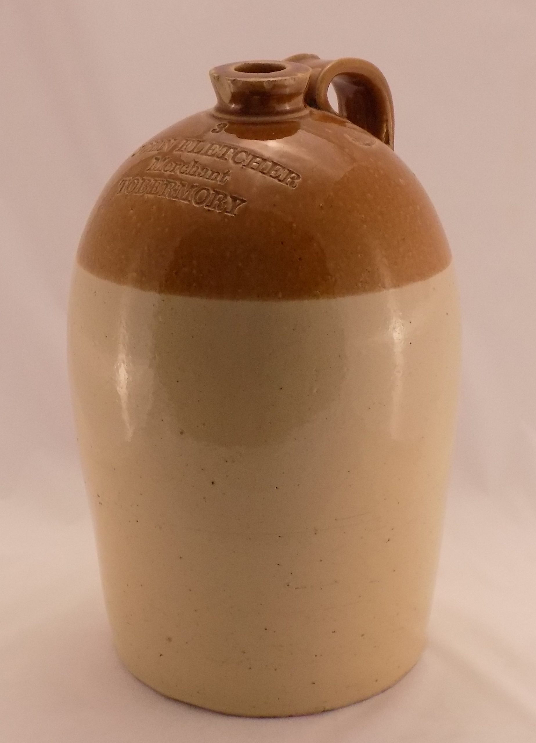
Large glazed stoneware flagon, 425 mm high, bottom three-quarters uncoloured, top quarter in orange-brown, made by Henry Kennedy, Barrowfield Pottery, Glasgow and stamped on the front with `3 JOHN FLETCHER Merchant TOBERMORY`.