


Ordnance Survey map sheet LXV & LXXIX.
Map of the eastern areas of Tiree from Baugh in the south to the Ringing Stone in the north, at a scale of 6 inches to the mile (1:10,560).

Ordnance Survey map sheet LXV & LXXIX.
Map of the eastern areas of Tiree from Baugh in the south to the Ringing Stone in the north, at a scale of 6 inches to the mile (1:10,560).
Ordnance Survey map sheet LXVIII.
Map of the south-west area of Tiree at a scale of 6 inches to the mile (1:10,560).
Ordnance Survey map sheet LXVIII.
Map of the south-west area of Tiree at a scale of 6 inches to the mile (1:10,560).
Book about the Clyde pleasure steamers.
Information about individual Clyde pleasure steamers with a pen and ink drawing of each.
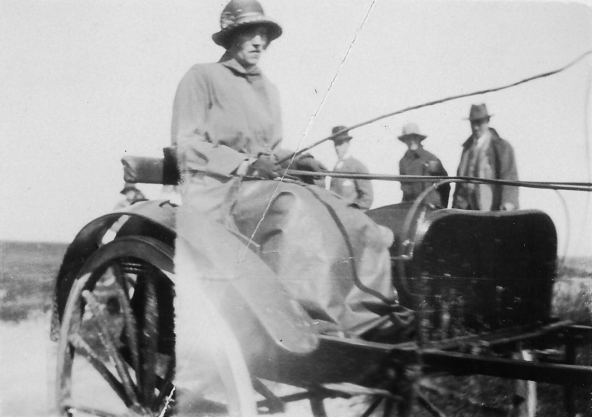
Black and white photograph of unknown woman driving a gig.
Possibly Lady Victoria Campbell driving a gig around 1900. (Original in Filing Cabinet 8 Drawer 1)
Ordnance Survey map sheet LXIV.12.
Map of the Reef area at a scale of 25 inches to the mile (1:2,500).
Ordnance Survey map sheet LXIV.13.
Map of the Kilkenneth area at a scale of 25 inches to the mile (1:2,500).
Ordnance Survey map sheet LXIV.14.
Map of the Moss area at a scale of 25 inches to the mile (1:2,500).
Ordnance Survey map sheet LXIV.16.
Map of theReef/Baugh area at a scale of 25 inches to the mile (1:2,500).
Ordnance Survey map sheet LXV.1.
Map of the Vaul/Ringing Stone area at a scale of 25 inches to the mile (1:2,500).