


Ordnance Survey map sheet LXIII & LXIV.
Map of the north-west and central areas of Tiree from Greenhill in the west to Baugh in the east, at a scale of 6 inches to the mile (1:10,560).

Ordnance Survey map sheet LXIII & LXIV.
Map of the north-west and central areas of Tiree from Greenhill in the west to Baugh in the east, at a scale of 6 inches to the mile (1:10,560).
Ordnance Survey map sheet LXIII & LXIV.
Map of the north-west and central areas of Tiree from Greenhill in the west to Baugh in the east, at a scale of 6 inches to the mile (1:10,560).
O/S map sheet LXIV.14.
Map of the Moss area at a scale of 25 inches to the mile (1:2,500).
Ordnance Survey map sheet LXIV.14.
Map of the Moss area at a scale of 25 inches to the mile (1:2,500).
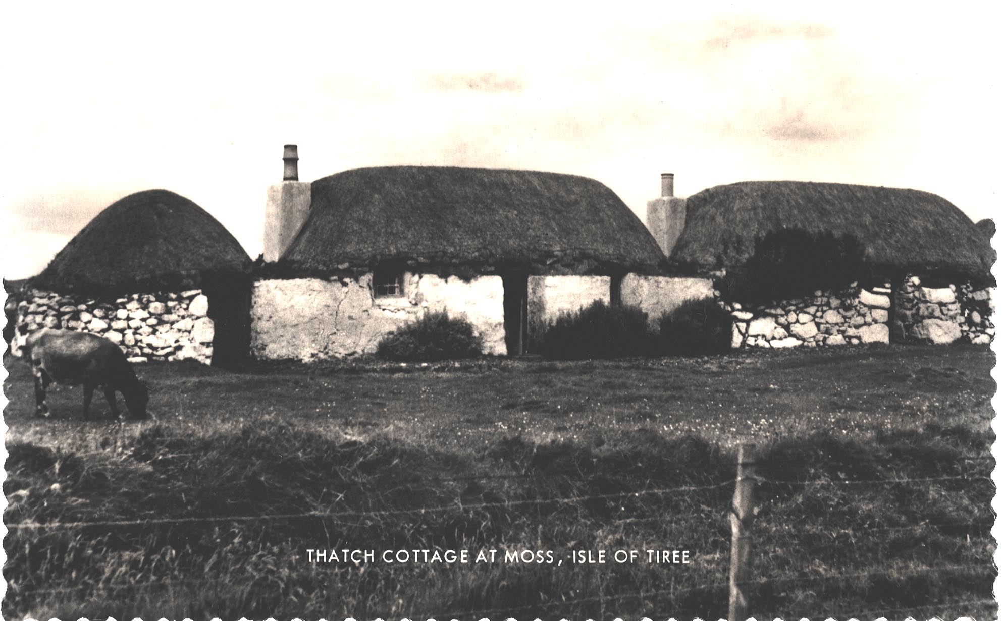
Black and white postcard of the thatched house at Moss.
The thatched house and outbuildings in Moss.
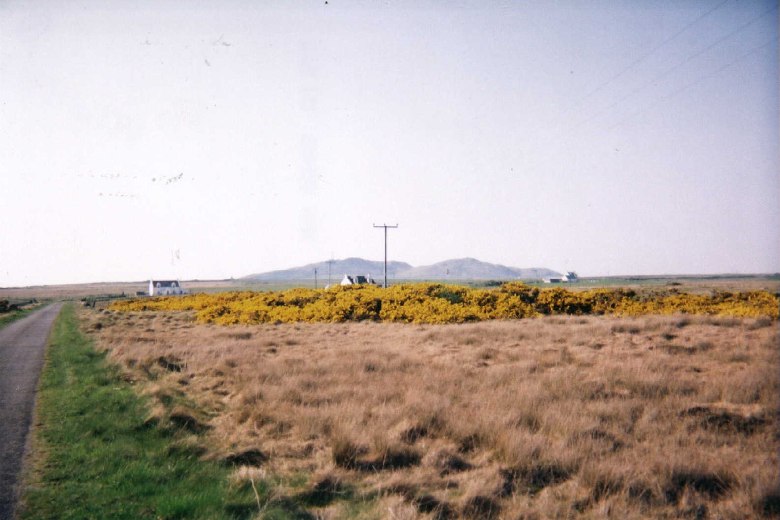
Colour photograph of the gorse at Moss, 2001.
The gorse in bloom at Moss with Ben Hough in the background, 2001.
Photocopied notice of Argyll County Council meeting in Dunoon on 4/10/1894 re the Roads and Bridges (Scotland) Act, 1878.
Meeting to add a number of roads in Tiree to the list of roads, highways and bridges maintained by the council.
Photocopied book extract, pp 73-79 from `Art Rambles in the Highlands and Islands of Scotland` by John T. Reid.
Account of a journey to Coll and Tiree illustrated by the author.