Tobar Eachainn
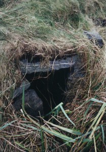
Photograph of Tobar Eachainn at Kirkapol.
Tobar Eachainn (Hector’s Well) is situated on the west bank of Kirkapol stream a hundred metres to the east of Kirkapol graveyard. Formerly known as Tobar Odhrain (Oran’s Well), its waters were said to have healing properties.
St Oran was a relative and a disciple of St Columba. He possibly spent time in Tiree as the larger of the two graveyards at Kirkapol is also dedicated to him. Evidence of the foundations of a chapel was uncovered there by a grave-digger in the late 19th century.
The well is a natural spring which is enclosed within dry-stone walls and roofed with turf-covered slabs. It was closed as a source of drinking water in the 1940s because of its close proximity to the graveyard.
Colour photograph of Tobair Eachainn.
Tobair Eachainn, once known as Tobair Odhrain, on Lodge Farm.
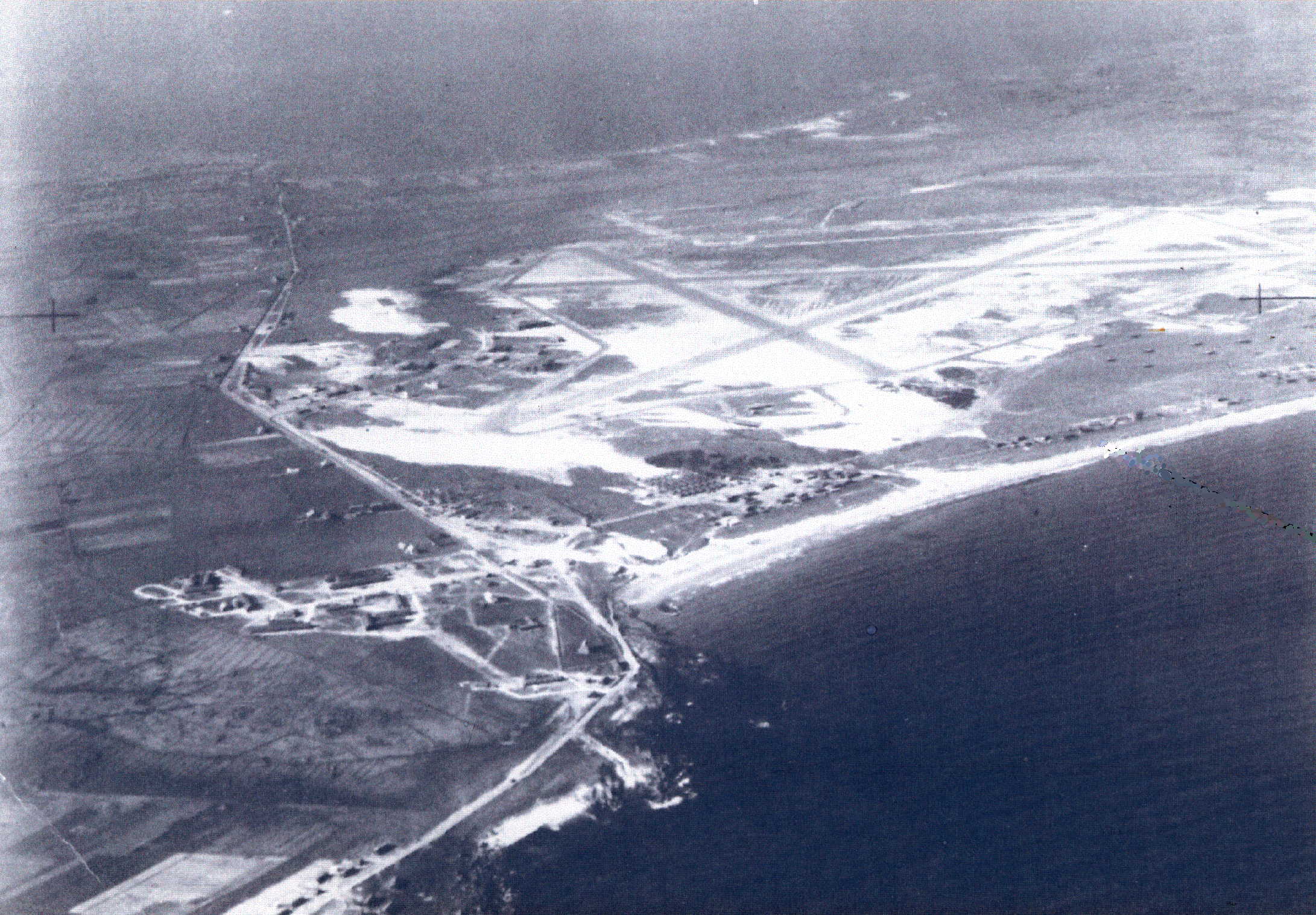
Tiree Aerodrome in 1944
Photograph of Tiree Aerodrome in 1944.
Courtesy of Sergeant Neil Owen
The origins of the Tiree airfield go back to 1934 when Midland and Scottish Airways selected a grass landing site on the Reef. A rental dispute delayed until 1937 the start of air services which continued to operate spasmodically during World War II.
The Reef was requisitioned by the Ministry of War in 1940 to provide air cover for the convoys routed from the North Sea to the Irish Channel. Contractors Melville, Dundas & Whitson and Tawse of Aberdeen were among those involved in building the airstrip, roads and living quarters for the RAF base.
Labourers were brought in from Ireland and the mainland, including prisoners from several Scottish jails. Quarries at Baugh and Balephetrish were blasted out and the ruins of the Glassary seaweed factory in Sandaig and the storehouse on Scarinish jetty were demolished and used as hardcore.
Aerial photograph of Tiree Aerodrome, 1944.
Aerial view of Tiree Aerodrome taken in 1944 showing erosion.
Colour photograph of a cross carved on a rock.
Cross carved on a rock near the Kirkapol chapels photographed in 2001.
Black and white photograph of excavated human remains in one of the Kirkapol chapels.
Excavated human bones in the larger of the Kirkapol chapels, St Columba`s, taken in 2001.
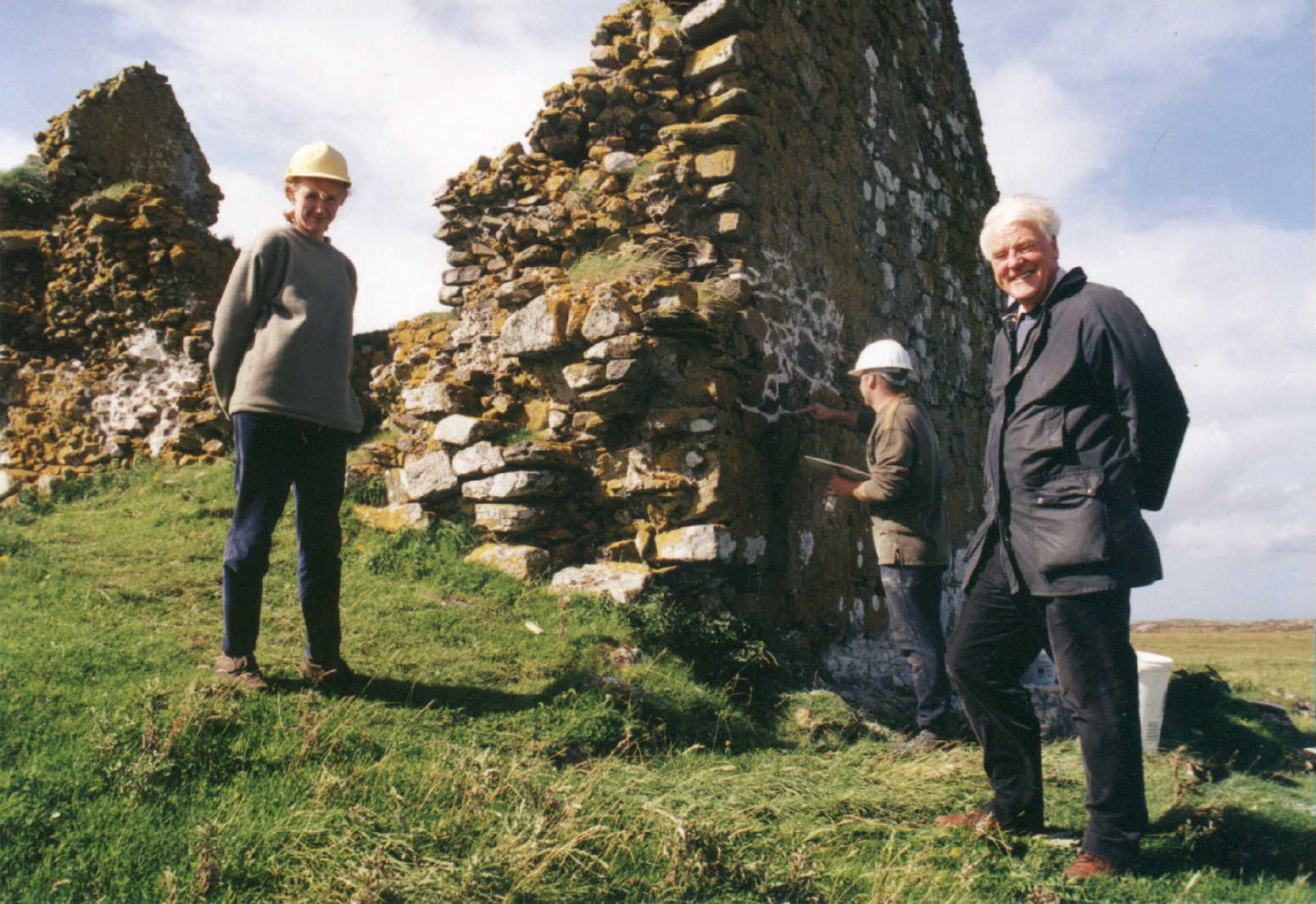
Colour photograph of Rev. Bob Higham at the Kirkapol chapel.
The smaller of the two Kirkapol chapels, possibly called St Brendan`s, in 2001, with contractor Sara Carruthers on the left and Rev. Bob Higham on the right.
Black and white photograph of the interior of one of the Kirkapol chapels.
Interior of the larger of the Kirkapol chapels, St Columba`s, showing excavated human bones to the right, taken in 2001.
Black and white photograph from the interior of one of the Kirkapol chapels.
View of the old graveyard from the interior of the larger of the Kirkapol chapels, St Columba`s, taken in 2001.
The chapel at Kilkenneth
Photograph of the ruins of the chapel at Kilkenneth in 2001
Courtesy of Rev. Robert Higham
The ruins of a small chapel dedicated to St Cainnech lie in the sand-dunes at Kilkenneth. Like the other remaining medieval chapels on Tiree, it was built from lime-mortared local rubble. Oblong in plan, it measures 8.7 by 3.1 metres within walls three-quarters of a metre thick.
The entrance is situated in the west gable-wall, of which a large part has collapsed. The chapel was lit by two slit-windows opposite each other in the side walls near the east end of the building.
The Statistical Account of 1794 records that at the chapel was ‘a burying ground so sandy, that, by blowing, heaps of human bones are seen, and coffins often exposed, before half consumed. It is now surrounded by sand banks higher than the side walls; they no longer bury there.’
Colour photograph of the Kilkenneth chapel in 2001.
The chapel at Kilkenneth, photographed in 2001.
Black and white photograph of aerial view of Kirkapol and Gott Bay.
Aerial view of Kirkapol showing the Parish Church, the graveyard, the old chapels and the Lodge Hotel.
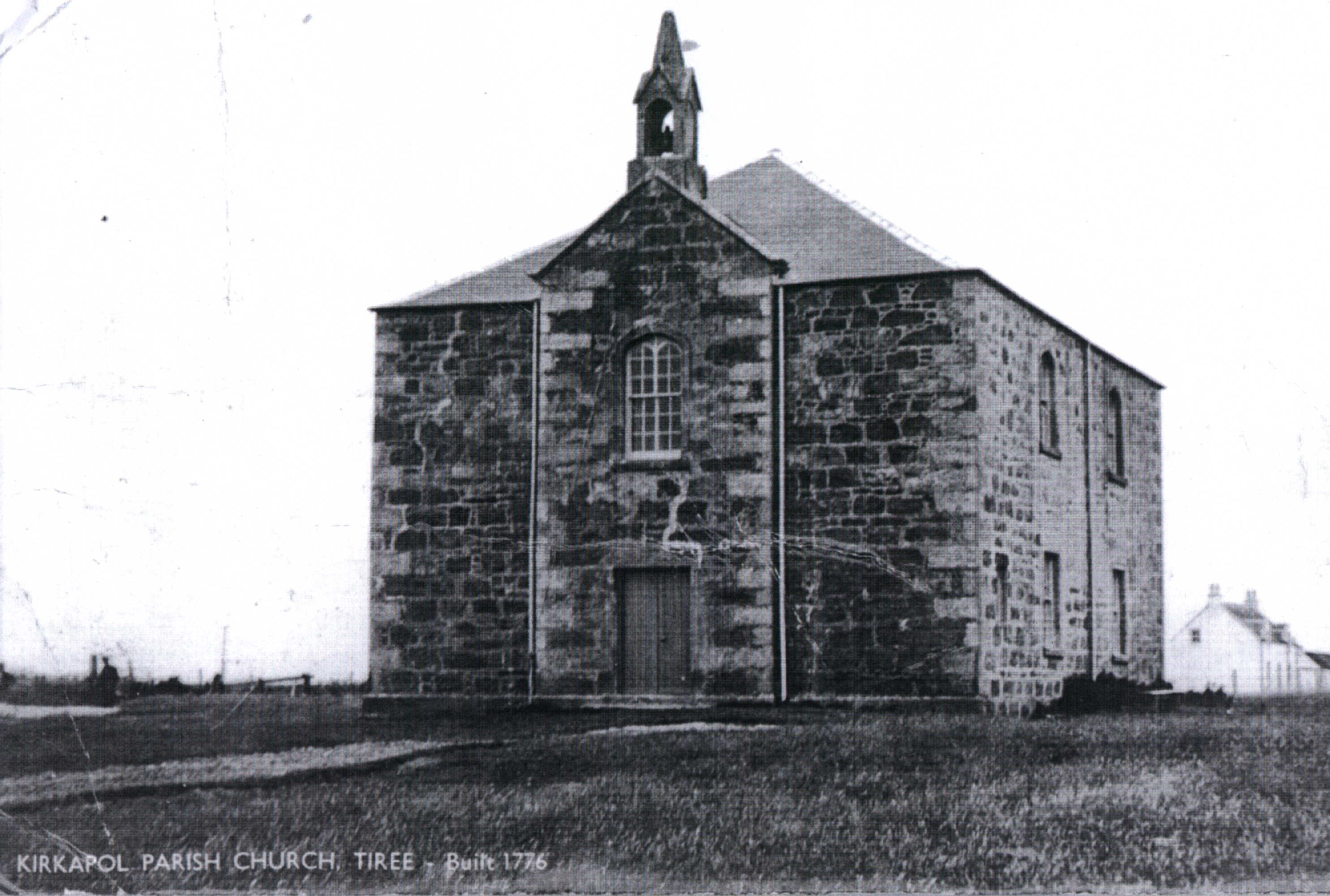
Scan of postcard of Kirkapol church.
Postcard of Kirkpol Parish Church.