


Black and white photograph of Flora MacLean, Kenovay.
Flora MacLean, Kenovay.


Black and white photograph of Flora MacLean, Kenovay.
Flora MacLean, Kenovay.
Black and white photograph John MacDonald, Kenovay, and Mairi Campbell.
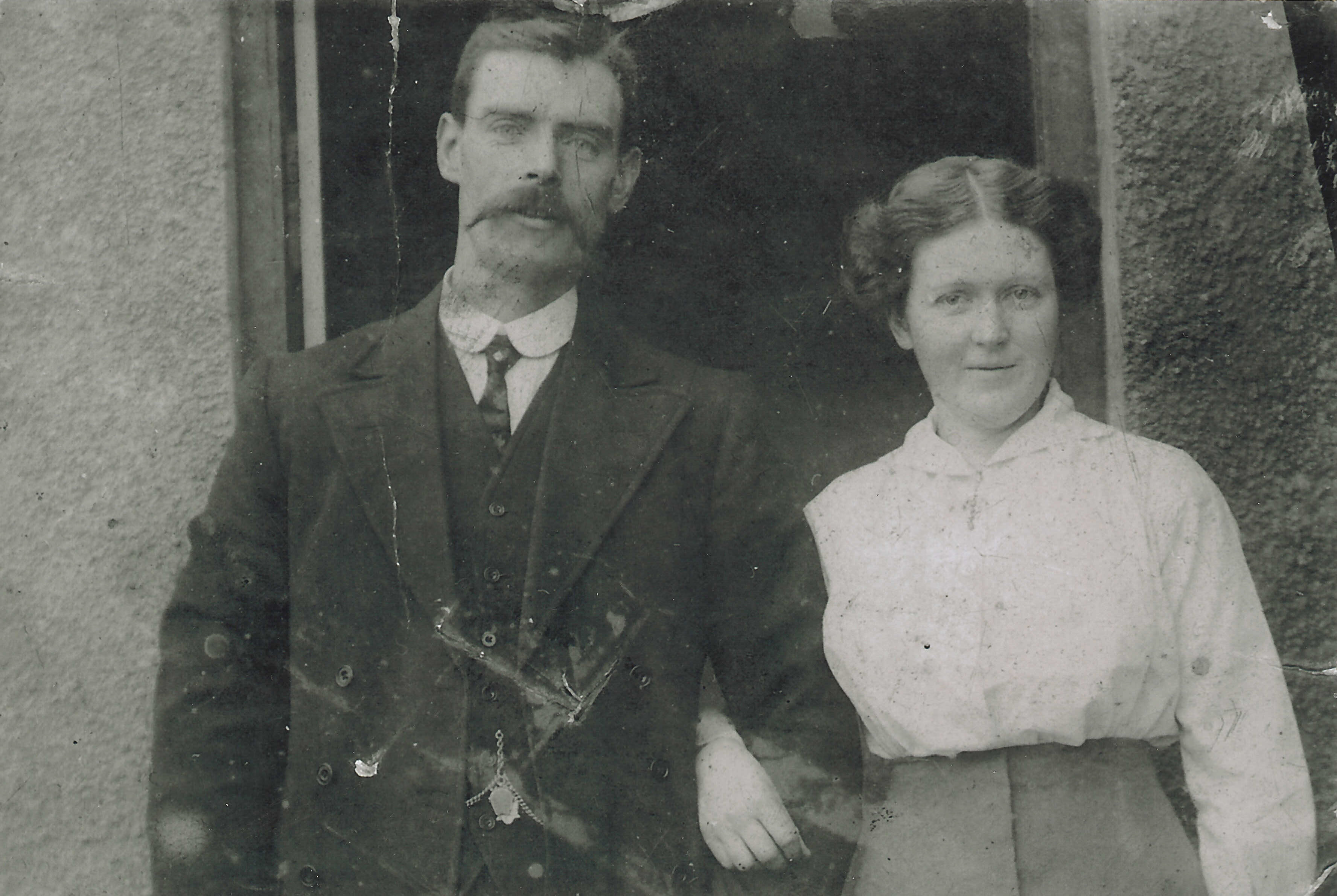
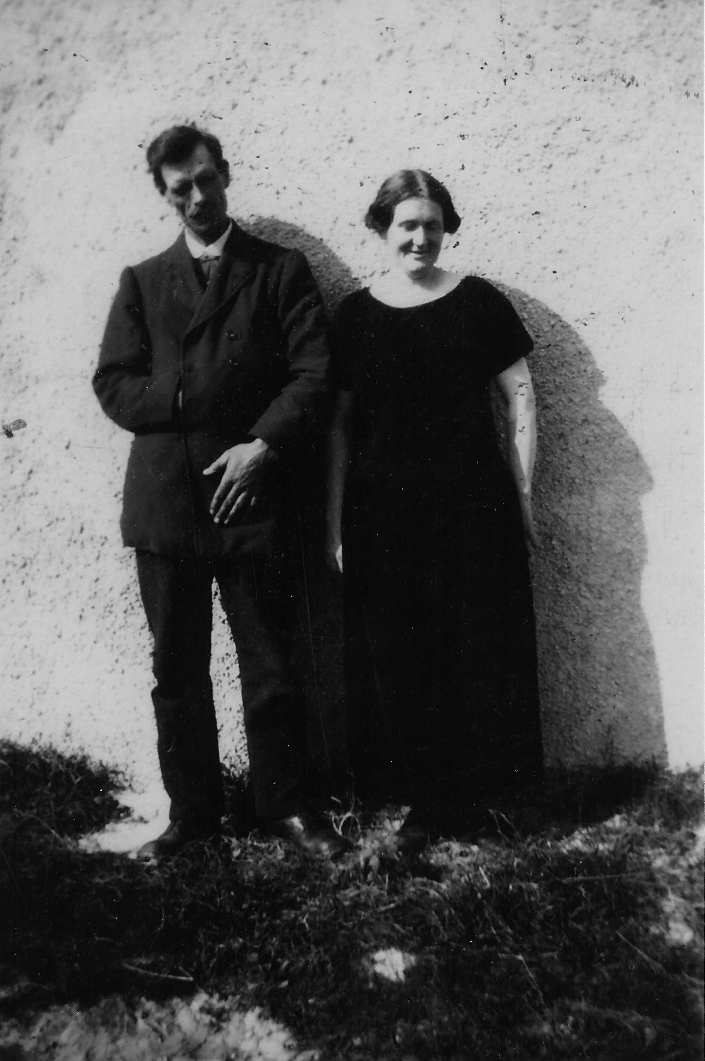
John MacDonald of Kenovay and Mairi Campbell. (John MacDonald was an uncle of nurse Iseabal MacLean)
Black and white photograph John MacDonald, Kenovay, and Mairi Campbell.
John MacDonald of Kenovay and Mairi Campbell. (John MacDonald was an uncle of nurse Iseabal MacLean)
2004 Tiree calendar by Sue Anderson.
2004 Tiree calendar by Sue Anderson with recipes and postcards with views of Kenavara, Scarinish, Heanish, Caoles, Crossapol, Balevullin, Kenovay and Kilkenneth.
Kenovay thatched house
Photograph of a thatched house in Kenovay in 1990.

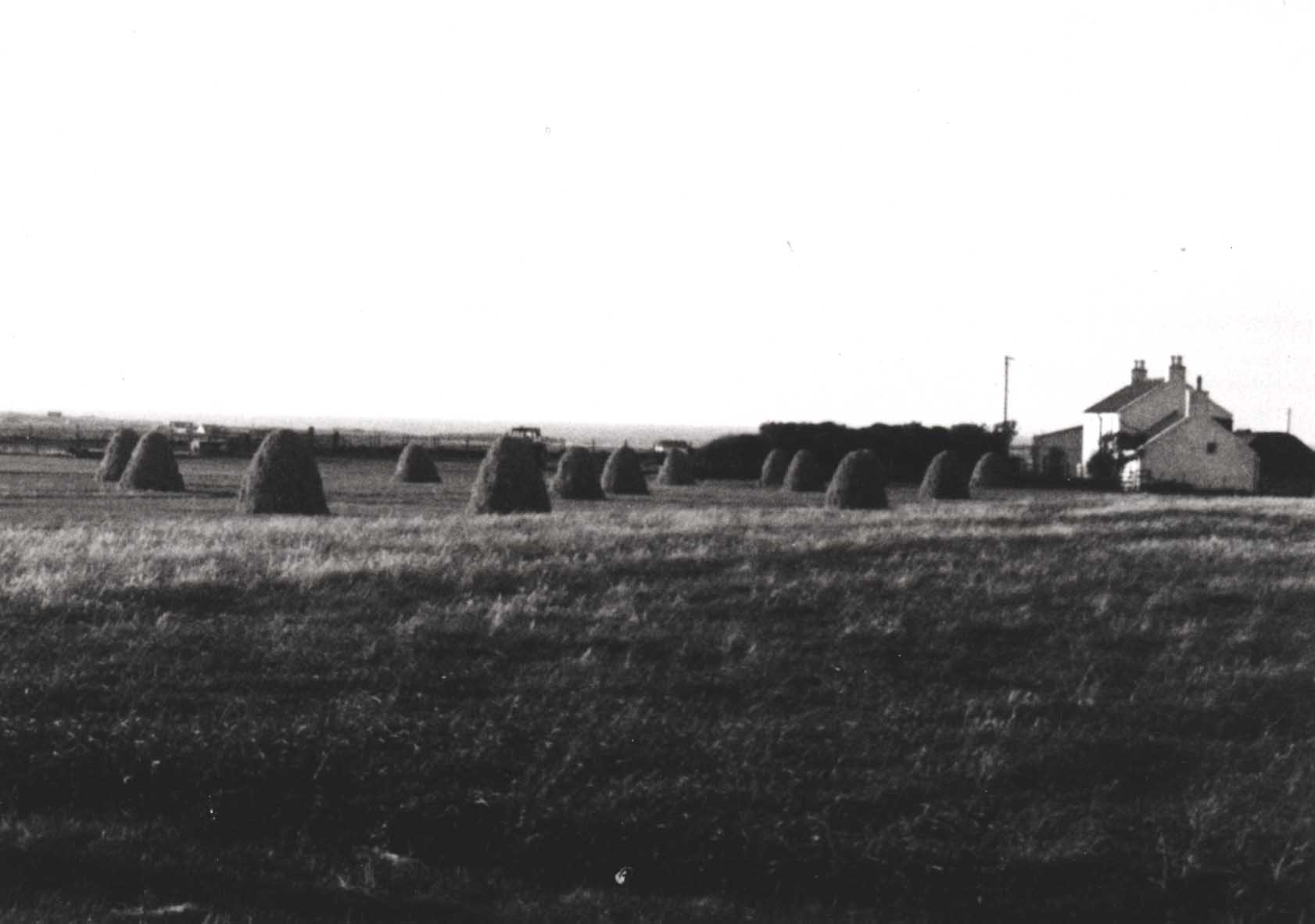
The beautiful thatched houses of Tiree (known as ‘taighean-tugha’) are one of the island’s most distinctive features. They are simple buildings with no unnecessary, fussy details. Before 1900 almost all the buildings on the island, at least three to four hundred of them, were thatched.
After 1900, however, many traditional houses changed their roofing from thatch to tarred felt and larger, two-storey stone built or poured concrete houses funded by the Board of Agriculture became popular after the World War I.
Numbers of the traditional thatched houses have steadily declined over the last hundred years. An Argyll and Bute Council survey in 1985 found twenty-three thatched buildings on the island and today there are only ten.
Colour photograph of the thatched house in Kenovay in 1990.
Thatched house in Kenovay in 1990. (Original in Filing Cabinet 8 drawer 2)
Photocopied petition dated 1893 to Argyll County Council from a group of Tiree cottars.
Petition dated 1893 to Argyll County Council from a group of cottars from Kilmoluaig, Balevullin, Sandaig, Kilkenneth, Moss, Cornaigmore, Cornaigbeg, Kenovay and Barrapol, all wanting to rent land under the Small Holdings Scotland Act of 1892.
Black and white photograph of Druimfraoich, Kenovay.
Druimfraoich, Kenovay.
Photocopied journal extract `The Island of Tiree` by Rev. William Reeves.
Early history of Tiree and ecclesiastic remains.
Seven O/S maps with hand-drawn croft numbers and boundaries, 1977
Seven O/S maps with croft numbers and boundaries drawn in by donor`s sister, Mary Robertson: (1) sheet NL 93 NE Hynish and West Hynish, (2) sheet NL 94 NE Hough, Balevullin, Kilmoluaig, Cornaigmore, Cornaigbeg and Kenovay and boundaries of Croish, Cornaigmore Farm and Kilmoluaig common grazing, (3) sheet NL 94 SE Moss, Barrapol, Balephuil, Balemartine, Balinoe, Heylipol and Crossapol and boundaries of Kilmoluaig common grazing, Barrapol Farm and Heylipol Farm, (4) sheet NL 94 NW Hough and Balevullin, (5) sheet NL 94 SW Middleton, Sandaig and Kilkenneth, (6) sheet NM 04 NW Balephetrish, Scarinish, Gott, Kirkapol and Vaul and boundaries of Scarinish Farm and Balephetrish special common, (7) sheet NM 04 SW Baugh and Scarinish.
Black and white photograph of Elizabeth MacMaster, Kenovay.
Elizabeth MacMaster, Kenovay at milking time at Cnoc Gorm, probably taken in the 1940s.
